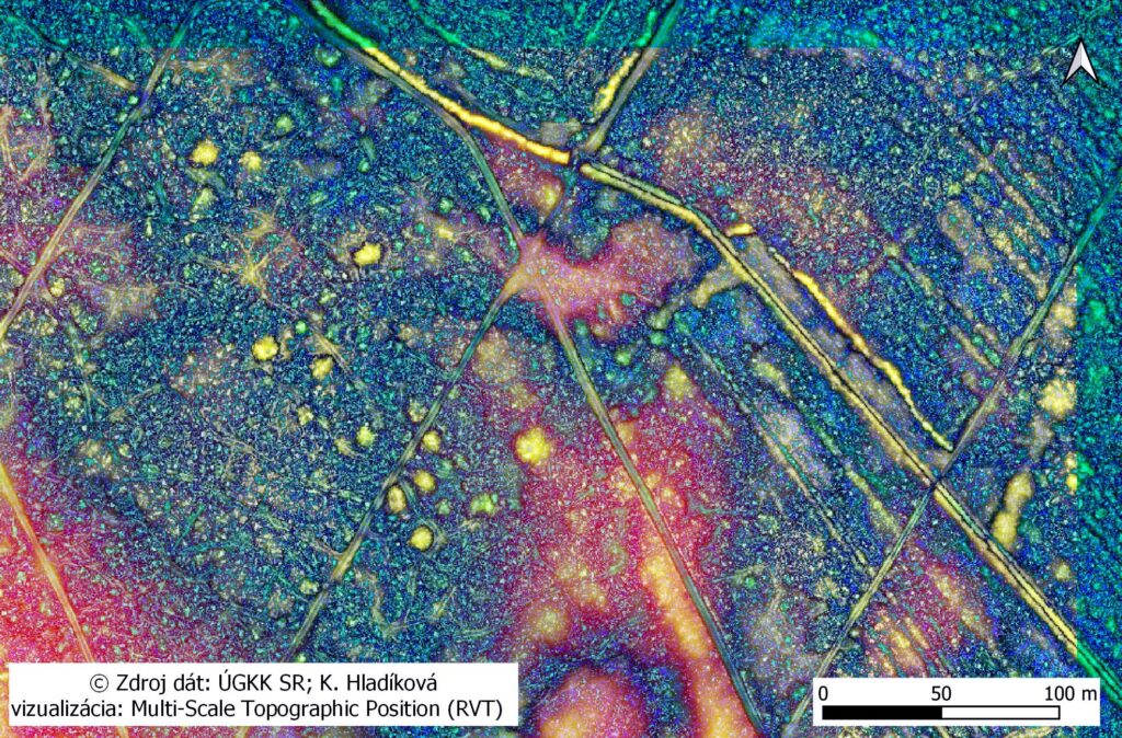
Preparation for the excavation also brings work with the LiDAR data provided by The Geodesy, Cartography and Cadastre Authority of the Slovak Republic. As a small appetizer, we offer you a visualisation of the barrow cemetery realised with QGIS, using the Relief Visualisation Toolbox (Multi-Scale Topografic Position).